The good old OGC WMS has many advantages compared to tiled maps:
- Continious zoom levels
- Support for different projections
- Combination of multiple layers in one request
- Higher resolutions for printing
- Better labelling
- No maintenance needed when updating data
Well known disadvantages are scalability issues for high-traffic sites and a slower response time for complex maps.
The second point can be significantly improved by using a technique known from the progressive JPEG format. Before loading a map with full resolution, a map image with a lower resolution is requested from the server. This results in a better response time, because rendering and transmitting of the low resolution image is significantly faster. The biggest effect on rendering time is in combination with raster layers, but also for vector layers the improvement can be substantial.
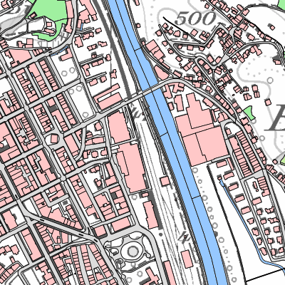
High resolution:
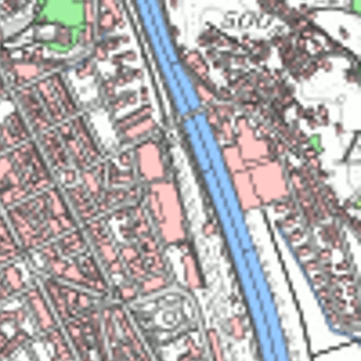
Low resolution:
The technique can be easily applied to any WMS using this basic OpenLayers implementation.
There is much room for improvements. The low resolution layer could be tiled, limited to certain zoom levels or having a larger extend for smoother panning.
QGISCloud has this optimization built into the QGIS Web-Client viewer, which helps collecting experience with a wide range of datasets.