QGIS already offers a lot of possibilities to visualize raster data (contrast enhancement, color map, handling of transparent pixels, …) Last year, Radim Blazek refactored the raster provider interface and added on-the-fly reprojection support for rasters to QGIS. Very cool!
One of the few things currently missing in QGIS raster layer is the possibility to have other resampling types than nearest neighbour. The problem is that rasters appear pixelated when zooming further than the source raster resolution. So for applications like web mapping, it is important to interpolate the pixel colors and to have a broader display scale range for layers. In the last few weeks, I’ve added bilinear and cubic raster resampling to QGIS (thanks to Canton Solothurn for funding these activities!).
A lot of refactoring was necessary in the raster layer code to add resampling in a clean way. Therefore these changes are available in branch ‘raster_resampler’ of the QGIS github clone (git://github.com/mhugent/Quantum-GIS.git). It probably needs a longer period of testing to make sure every feature of the raster layer class still works properly.
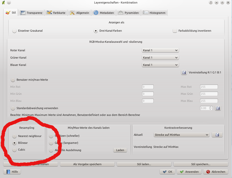
The resampling option can be chosen in the raster properties dialog:
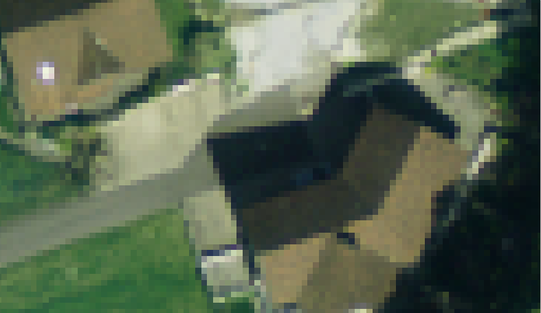
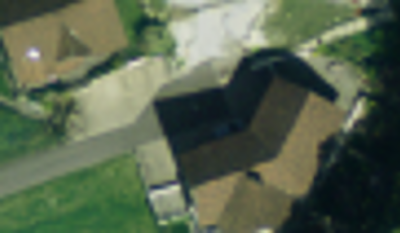
And here is the effect for a three band color image.
Nearest neighbour:
Bilinear:

Cubic:
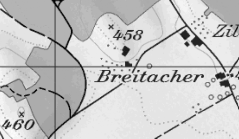
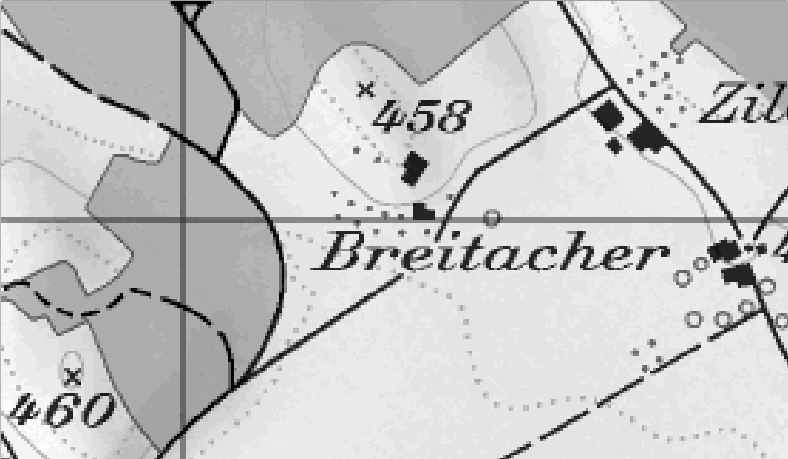
And here for a palletted background map
Nearest neighbour:
Bilinear: